Jermyns Farmhouse and Barn, Capel St Mary
Introduction
The photograph on this page of Jermyns Farmhouse and Barn, Capel St Mary by Evelyn Simak as part of the Geograph project.
The Geograph project started in 2005 with the aim of publishing, organising and preserving representative images for every square kilometre of Great Britain, Ireland and the Isle of Man.

There are currently over 7.5m images from over 14,400 individuals and you can help contribute to the project by visiting https://www.geograph.org.uk
Jermyns Farmhouse and Barn, Capel St Mary
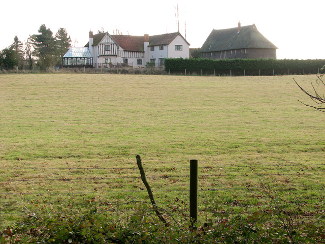
Image: © Evelyn Simak Taken: 29 Dec 2011
Parts of the farmhouse date from the 14th and 15th centuries and both the house and the adjoining thatched (converted) barn are Grade II listed. A number of attractive public footpaths meet near here, leading in all directions.
Images are licensed for reuse under creativecommons.org/licenses/by-sa/2.0
Image Location
Latitude
52.011244
Longitude
1.039932