West of Waterlooville housing development site
Introduction
The photograph on this page of West of Waterlooville housing development site by Peter Facey as part of the Geograph project.
The Geograph project started in 2005 with the aim of publishing, organising and preserving representative images for every square kilometre of Great Britain, Ireland and the Isle of Man.

There are currently over 7.5m images from over 14,400 individuals and you can help contribute to the project by visiting https://www.geograph.org.uk
West of Waterlooville housing development site
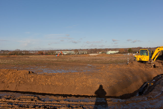
Image: © Peter Facey Taken: 17 Dec 2011
Seen from corner of temporarily-diverted footpath over Plant Farm. The drainage ditch forms the southern boundary of the present phase of housing development, there being farmed land immediately behind the camera.
Images are licensed for reuse under creativecommons.org/licenses/by-sa/2.0
Image Location
Latitude
50.879958
Longitude
-1.039207