Benchmark on New River Head Pump House
Introduction
The photograph on this page of Benchmark on New River Head Pump House by Roger Templeman as part of the Geograph project.
The Geograph project started in 2005 with the aim of publishing, organising and preserving representative images for every square kilometre of Great Britain, Ireland and the Isle of Man.

There are currently over 7.5m images from over 14,400 individuals and you can help contribute to the project by visiting https://www.geograph.org.uk
Benchmark on New River Head Pump House
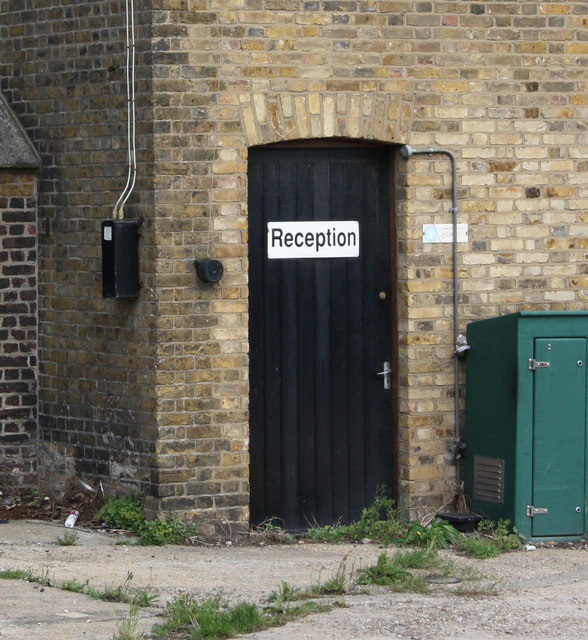
Image: © Roger Templeman Taken: 27 Aug 2011
The Ordnance Survey cut mark benchmark can be seen on 4th and 5th bricks above ground on the corner to the left of the door. Additional details may be found at http://www.bench-marks.org.uk/bm39312
Images are licensed for reuse under creativecommons.org/licenses/by-sa/2.0
Image Location
Latitude
51.528595
Longitude
-0.109324