On the Aylesbury Ring path looking back towards Ellesborough
Introduction
The photograph on this page of On the Aylesbury Ring path looking back towards Ellesborough by Peter S as part of the Geograph project.
The Geograph project started in 2005 with the aim of publishing, organising and preserving representative images for every square kilometre of Great Britain, Ireland and the Isle of Man.

There are currently over 7.5m images from over 14,400 individuals and you can help contribute to the project by visiting https://www.geograph.org.uk
On the Aylesbury Ring path looking back towards Ellesborough
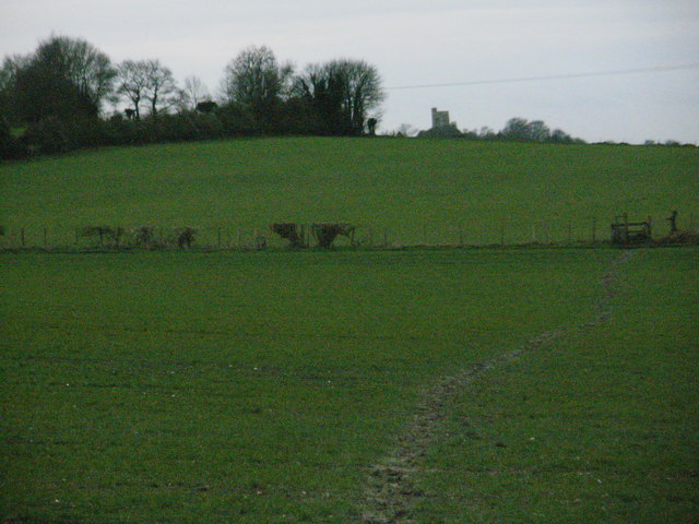
Image: © Peter S Taken: 20 Dec 2011
The Aylesbury Ring is a 31-mile long circular route that, as the name suggests, encircles the Buckinghamshire town of Aylesbury. This particular section goes between Ellesborough and Wendover and the route includes some muddy paths across fields, as this photo shows.
Images are licensed for reuse under creativecommons.org/licenses/by-sa/2.0
Image Location
Latitude
51.755317
Longitude
-0.785031