Ivy Hatch Residential Site
Introduction
The photograph on this page of Ivy Hatch Residential Site by Ian Capper as part of the Geograph project.
The Geograph project started in 2005 with the aim of publishing, organising and preserving representative images for every square kilometre of Great Britain, Ireland and the Isle of Man.

There are currently over 7.5m images from over 14,400 individuals and you can help contribute to the project by visiting https://www.geograph.org.uk
Ivy Hatch Residential Site
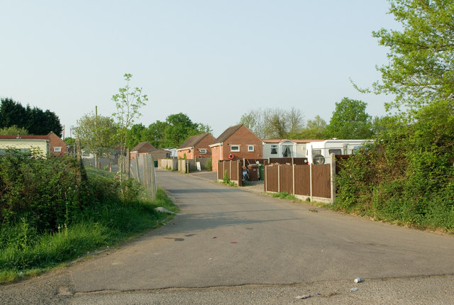
Image: © Ian Capper Taken: 25 Apr 2011
Formerly known as Green Lane Gypsy Site, it was founded in 1964 by Godstone Rural District Council, and is now owned by Tandridge District Council.
Images are licensed for reuse under creativecommons.org/licenses/by-sa/2.0
Image Location
Latitude
51.20306
Longitude
-0.136928