Barley, Whyntie
Introduction
The photograph on this page of Barley, Whyntie by Richard Webb as part of the Geograph project.
The Geograph project started in 2005 with the aim of publishing, organising and preserving representative images for every square kilometre of Great Britain, Ireland and the Isle of Man.

There are currently over 7.5m images from over 14,400 individuals and you can help contribute to the project by visiting https://www.geograph.org.uk
Barley, Whyntie
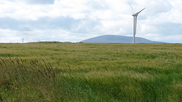
Image: © Richard Webb Taken: 5 Aug 2011
Spring barley which was still green unlike some neighbouring fields. A view beyond the wind turbines towards Knock Hill.
Images are licensed for reuse under creativecommons.org/licenses/by-sa/2.0
Image Location
Latitude
57.671685
Longitude
-2.629151