Charles Street Cardiff
Introduction
The photograph on this page of Charles Street Cardiff by Guy Butler-Madden as part of the Geograph project.
The Geograph project started in 2005 with the aim of publishing, organising and preserving representative images for every square kilometre of Great Britain, Ireland and the Isle of Man.

There are currently over 7.5m images from over 14,400 individuals and you can help contribute to the project by visiting https://www.geograph.org.uk
Charles Street Cardiff
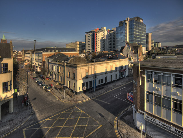
Image: © Guy Butler-Madden Taken: 12 Nov 2007
This photo was taken from the now demolished David Street carpark. Charles street is on the left of the photo and Bridge Street runs left to right. The tall buildings in the middle distance are on Churchill Way.
Images are licensed for reuse under creativecommons.org/licenses/by-sa/2.0
Image Location
Latitude
51.479894
Longitude
-3.172648