Holt Fleet road near Knott Field Centre
Introduction
The photograph on this page of Holt Fleet road near Knott Field Centre by John Firth as part of the Geograph project.
The Geograph project started in 2005 with the aim of publishing, organising and preserving representative images for every square kilometre of Great Britain, Ireland and the Isle of Man.

There are currently over 7.5m images from over 14,400 individuals and you can help contribute to the project by visiting https://www.geograph.org.uk
Holt Fleet road near Knott Field Centre
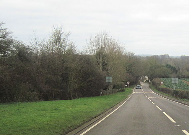
Image: © John Firth Taken: 27 Dec 2011
A4133 west immediately past cross roads
Images are licensed for reuse under creativecommons.org/licenses/by-sa/2.0
Image Location
Latitude
52.27038
Longitude
-2.250109