New houses, Vattingstone Lane, Alveston
Introduction
The photograph on this page of New houses, Vattingstone Lane, Alveston by Jaggery as part of the Geograph project.
The Geograph project started in 2005 with the aim of publishing, organising and preserving representative images for every square kilometre of Great Britain, Ireland and the Isle of Man.

There are currently over 7.5m images from over 14,400 individuals and you can help contribute to the project by visiting https://www.geograph.org.uk
New houses, Vattingstone Lane, Alveston
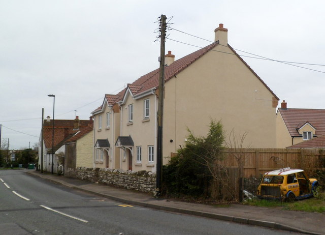
Image: © Jaggery Taken: 27 Dec 2011
The recently-built houses are at the SE end of Vattingstone Lane (B4461), near the staggered crossroads with The Down, Down Road and Strode Common.
Images are licensed for reuse under creativecommons.org/licenses/by-sa/2.0
Image Location
Latitude
51.591413
Longitude
-2.538381