
Site of the former North Wylam Railway Station
Introduction
The photograph on this page of Site of the former North Wylam Railway Station by Andrew Curtis as part of the Geograph project.
The Geograph project started in 2005 with the aim of publishing, organising and preserving representative images for every square kilometre of Great Britain, Ireland and the Isle of Man.

There are currently over 7.5m images from over 14,400 individuals and you can help contribute to the project by visiting https://www.geograph.org.uk
Site of the former North Wylam Railway Station
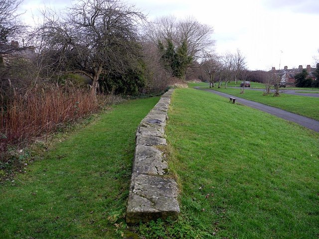
Image: © Andrew Curtis Taken: 25 Dec 2011
There is another photo here Image North Wylam was the most westerly station on the Scotswood, Newburn & Wylam Railway. It was opened in 1876 and closed in 1968. The site was cleared in January 1975 leaving few visible remains. It is now a grassy open space adjacent to the car park of the Tyne Riverside Park and the former track ('Wylam Waggonway') a walking and cycle route. There is a detailed account here: http://www.disused-stations.org.uk/n/north_wylam/index.shtml
Images are licensed for reuse under creativecommons.org/licenses/by-sa/2.0
Image Location

Latitude
54.976681
Longitude
-1.816241