Clears Farm
Introduction
The photograph on this page of Clears Farm by Ian Capper as part of the Geograph project.
The Geograph project started in 2005 with the aim of publishing, organising and preserving representative images for every square kilometre of Great Britain, Ireland and the Isle of Man.

There are currently over 7.5m images from over 14,400 individuals and you can help contribute to the project by visiting https://www.geograph.org.uk
Clears Farm
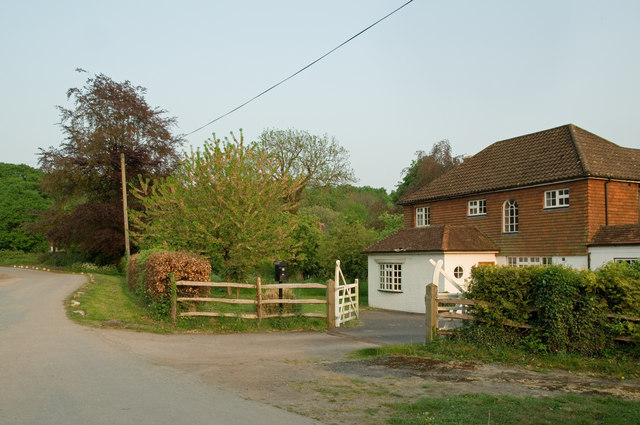
Image: © Ian Capper Taken: 24 Apr 2011
Although there has been a farm called Clears Farm for many years (records existing since at least the 18th century), the presence of a house on this particular site, south of the Clears, is much more recent, not appearing prior to a 1961 map. By contrast, the building now called Clears Farm Stables (see Image) is older.
Images are licensed for reuse under creativecommons.org/licenses/by-sa/2.0
Image Location
Latitude
51.247822
Longitude
-0.221636