Thornbury Cricket Club, Alveston
Introduction
The photograph on this page of Thornbury Cricket Club, Alveston by Jaggery as part of the Geograph project.
The Geograph project started in 2005 with the aim of publishing, organising and preserving representative images for every square kilometre of Great Britain, Ireland and the Isle of Man.

There are currently over 7.5m images from over 14,400 individuals and you can help contribute to the project by visiting https://www.geograph.org.uk
Thornbury Cricket Club, Alveston
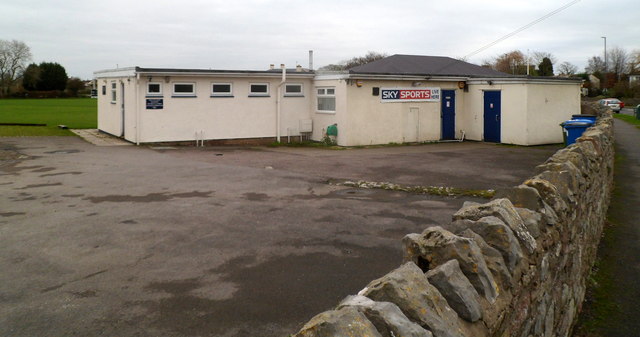
Image: © Jaggery Taken: 27 Dec 2011
Viewed from Thornbury Road (B4061). Thornbury Cricket Club's premises are at the NW edge of their cricket ground, The Ship Field. The Ship Inn http://www.geograph.org.uk/photo/2742816 is nearby.
Images are licensed for reuse under creativecommons.org/licenses/by-sa/2.0
Image Location
Latitude
51.591453
Longitude
-2.52972