Thurlow Gardens
Introduction
The photograph on this page of Thurlow Gardens by Martin Addison as part of the Geograph project.
The Geograph project started in 2005 with the aim of publishing, organising and preserving representative images for every square kilometre of Great Britain, Ireland and the Isle of Man.

There are currently over 7.5m images from over 14,400 individuals and you can help contribute to the project by visiting https://www.geograph.org.uk
Thurlow Gardens
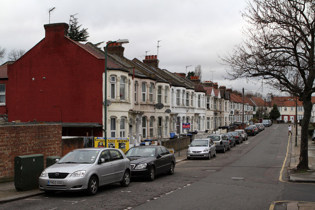
Image: © Martin Addison Taken: 26 Dec 2011
A side street off Wembley High Road. The closest section of terraced housing dates to around 1900. The housing further along the road appears to have been added after the 1914-18 war. All the housing was present by 1935.
Images are licensed for reuse under creativecommons.org/licenses/by-sa/2.0
Image Location
Latitude
51.55256
Longitude
-0.300319