Site of the disused Hope Pit
Introduction
The photograph on this page of Site of the disused Hope Pit by Andrew Curtis as part of the Geograph project.
The Geograph project started in 2005 with the aim of publishing, organising and preserving representative images for every square kilometre of Great Britain, Ireland and the Isle of Man.

There are currently over 7.5m images from over 14,400 individuals and you can help contribute to the project by visiting https://www.geograph.org.uk
Site of the disused Hope Pit
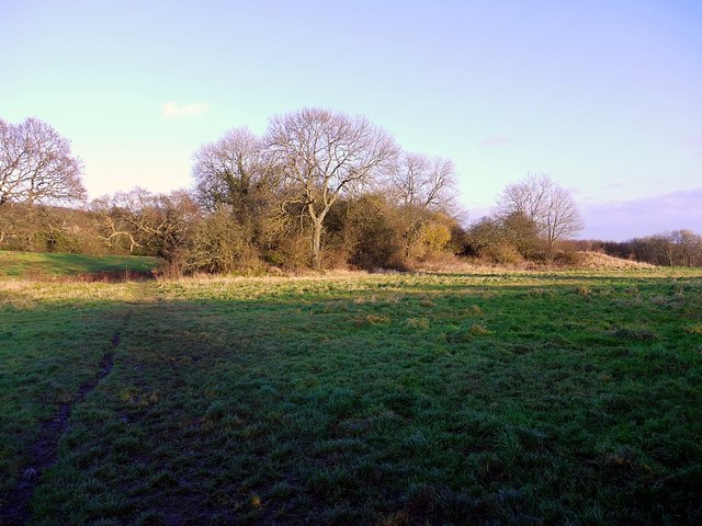
Image: © Andrew Curtis Taken: 28 Dec 2011
The scrub woodland conceals foundations of buildings (mine engine houses and Rift Cottages), a spoil heap, and (on the right) the start of a waggonway which led due south towards North Wylam Railway Station. Hope Pit was known locally as 'Chuckee Pit' and was worked periodically during the C18th and C19th, although finally closed in 1893-94.
Images are licensed for reuse under creativecommons.org/licenses/by-sa/2.0
Image Location
Latitude
54.981086
Longitude
-1.817471