Lynfords Drive
Introduction
The photograph on this page of Lynfords Drive by terry joyce as part of the Geograph project.
The Geograph project started in 2005 with the aim of publishing, organising and preserving representative images for every square kilometre of Great Britain, Ireland and the Isle of Man.

There are currently over 7.5m images from over 14,400 individuals and you can help contribute to the project by visiting https://www.geograph.org.uk
Lynfords Drive
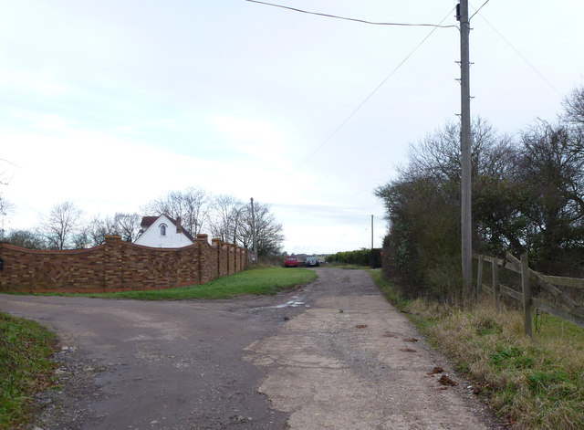
Image: © terry joyce Taken: 28 Dec 2011
This is a private road the public footpath does not run up this road, the path runs parallel to the west. The path access is gained via a stile off of the A132 and runs up behind the properties on this road. It actually follows the line of the overhead power cables.
Images are licensed for reuse under creativecommons.org/licenses/by-sa/2.0
Image Location
Latitude
51.627266
Longitude
0.537752