Entrance to Fenlake Meadows Local Nature Reserve
Introduction
The photograph on this page of Entrance to Fenlake Meadows Local Nature Reserve by Robert Kerr as part of the Geograph project.
The Geograph project started in 2005 with the aim of publishing, organising and preserving representative images for every square kilometre of Great Britain, Ireland and the Isle of Man.

There are currently over 7.5m images from over 14,400 individuals and you can help contribute to the project by visiting https://www.geograph.org.uk
Entrance to Fenlake Meadows Local Nature Reserve
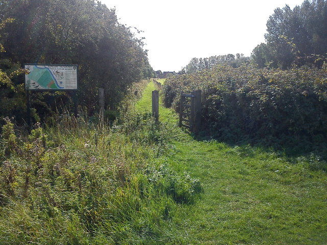
Image: © Robert Kerr Taken: 17 Sep 2011
This path is part of a circular walk within Fenlake Meadows Local Nature Reserve in Bedford. The sign contains a map of the route and information on the history of the reserve.
Images are licensed for reuse under creativecommons.org/licenses/by-sa/2.0
Image Location
Latitude
52.130036
Longitude
-0.444983