Moat in Fountain Dale
Introduction
The photograph on this page of Moat in Fountain Dale by Antony Dixon as part of the Geograph project.
The Geograph project started in 2005 with the aim of publishing, organising and preserving representative images for every square kilometre of Great Britain, Ireland and the Isle of Man.

There are currently over 7.5m images from over 14,400 individuals and you can help contribute to the project by visiting https://www.geograph.org.uk
Moat in Fountain Dale
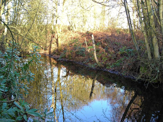
Image: © Antony Dixon Taken: 27 Dec 2011
Marked on the map as an 'antiquity' it is thought to have been built in Saxon times to protect a shrine. It is said that the relics and treasures of the shrine were hidden by a monk when the Danes were raiding the area, and were never found, possibly because the monk who hid them was killed.
Images are licensed for reuse under creativecommons.org/licenses/by-sa/2.0
Image Location
Latitude
53.106116
Longitude
-1.15556