Bridleway and track to Bradget Hey Farm
Introduction
The photograph on this page of Bridleway and track to Bradget Hey Farm by Bill Boaden as part of the Geograph project.
The Geograph project started in 2005 with the aim of publishing, organising and preserving representative images for every square kilometre of Great Britain, Ireland and the Isle of Man.

There are currently over 7.5m images from over 14,400 individuals and you can help contribute to the project by visiting https://www.geograph.org.uk
Bridleway and track to Bradget Hey Farm
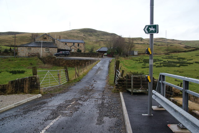
Image: © Bill Boaden Taken: 24 Dec 2011
The bridleway continues to the top of Warcock Hill.
Images are licensed for reuse under creativecommons.org/licenses/by-sa/2.0
Image Location
Latitude
53.742226
Longitude
-2.172351