Upper Pennington
Introduction
The photograph on this page of Upper Pennington by Mike Faherty as part of the Geograph project.
The Geograph project started in 2005 with the aim of publishing, organising and preserving representative images for every square kilometre of Great Britain, Ireland and the Isle of Man.

There are currently over 7.5m images from over 14,400 individuals and you can help contribute to the project by visiting https://www.geograph.org.uk
Upper Pennington
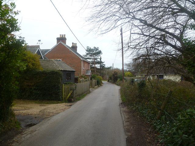
Image: © Mike Faherty Taken: 27 Dec 2011
A hamlet arranged around Upper and Middle Common Roads, with Victorian and more modern properties arranged seemingly haphazardly. Here, Upper Common Road narrows to a single carriageway.
Images are licensed for reuse under creativecommons.org/licenses/by-sa/2.0
Image Location
Latitude
50.758596
Longitude
-1.57647