Church Lane, Kingsbury
Introduction
The photograph on this page of Church Lane, Kingsbury by Martin Addison as part of the Geograph project.
The Geograph project started in 2005 with the aim of publishing, organising and preserving representative images for every square kilometre of Great Britain, Ireland and the Isle of Man.

There are currently over 7.5m images from over 14,400 individuals and you can help contribute to the project by visiting https://www.geograph.org.uk
Church Lane, Kingsbury
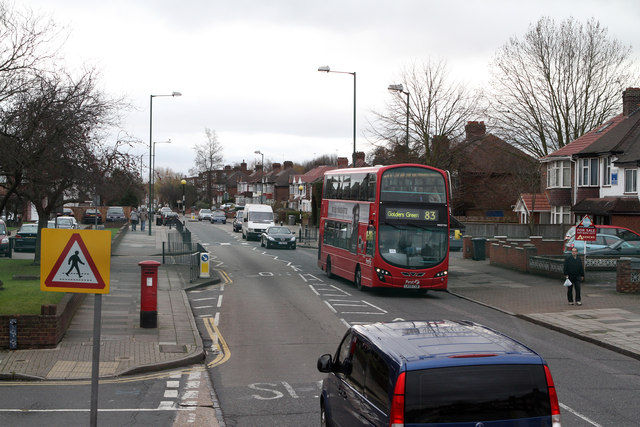
Image: © Martin Addison Taken: 26 Dec 2011
Seen at the junction with Elthorne Road from the upper deck of a number 83 bus en-route to Ealing Hospital. An opposite direction service can be seen heading for Golders Green. Operated by First, the vehicle is a Wright Eclipse Gemini bodied Volvo B9TL.
Images are licensed for reuse under creativecommons.org/licenses/by-sa/2.0
Image Location
Latitude
51.57737
Longitude
-0.26288