Kingsbury Road
Introduction
The photograph on this page of Kingsbury Road by Martin Addison as part of the Geograph project.
The Geograph project started in 2005 with the aim of publishing, organising and preserving representative images for every square kilometre of Great Britain, Ireland and the Isle of Man.

There are currently over 7.5m images from over 14,400 individuals and you can help contribute to the project by visiting https://www.geograph.org.uk
Kingsbury Road
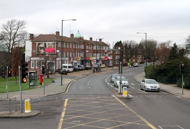
Image: © Martin Addison Taken: 26 Dec 2011
The A4006 seen at the junction with Church Lane from the upper deck of a number 83 bus routing from Golders Green to Ealing Hospital.
Images are licensed for reuse under creativecommons.org/licenses/by-sa/2.0
Image Location
Latitude
51.582942
Longitude
-0.262668