Drain at Escrick
Introduction
The photograph on this page of Drain at Escrick by Trevor Littlewood as part of the Geograph project.
The Geograph project started in 2005 with the aim of publishing, organising and preserving representative images for every square kilometre of Great Britain, Ireland and the Isle of Man.

There are currently over 7.5m images from over 14,400 individuals and you can help contribute to the project by visiting https://www.geograph.org.uk
Drain at Escrick
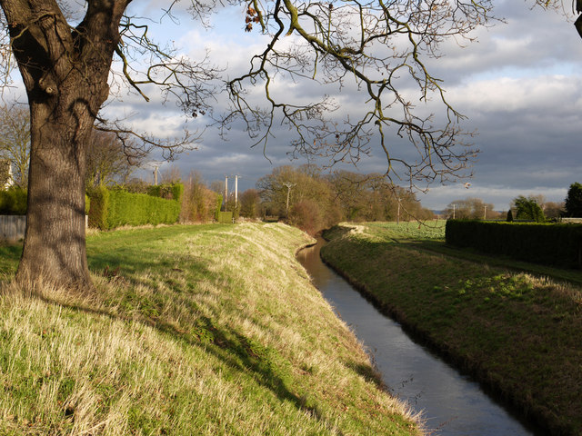
Image: © Trevor Littlewood Taken: 26 Dec 2011
Escrick is a village south of York close to the A19. The surrounding landscape is very flat explaining the need for the drain passing through, as a flood prevention measure.
Images are licensed for reuse under creativecommons.org/licenses/by-sa/2.0
Image Location
Latitude
53.878806
Longitude
-1.038916