Upper Welland
Introduction
The photograph on this page of Upper Welland by Philip Halling as part of the Geograph project.
The Geograph project started in 2005 with the aim of publishing, organising and preserving representative images for every square kilometre of Great Britain, Ireland and the Isle of Man.

There are currently over 7.5m images from over 14,400 individuals and you can help contribute to the project by visiting https://www.geograph.org.uk
Upper Welland
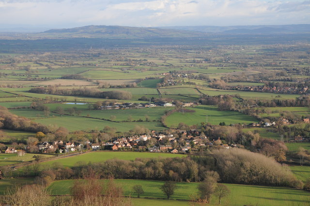
Image: © Philip Halling Taken: 18 Dec 2011
Upper Welland viewed from on top of the Malvern Hills, beyond the Severn valley Bredon Hill can be seen, along with Dumbleton Hill and Aldterton Hill to the right with the Cotswold escarp as a backdrop.
Images are licensed for reuse under creativecommons.org/licenses/by-sa/2.0
Image Location
Latitude
52.065399
Longitude
-2.323356