St Mary the Virgin, Cuddington
Introduction
The photograph on this page of St Mary the Virgin, Cuddington by Des Blenkinsopp as part of the Geograph project.
The Geograph project started in 2005 with the aim of publishing, organising and preserving representative images for every square kilometre of Great Britain, Ireland and the Isle of Man.

There are currently over 7.5m images from over 14,400 individuals and you can help contribute to the project by visiting https://www.geograph.org.uk
St Mary the Virgin, Cuddington
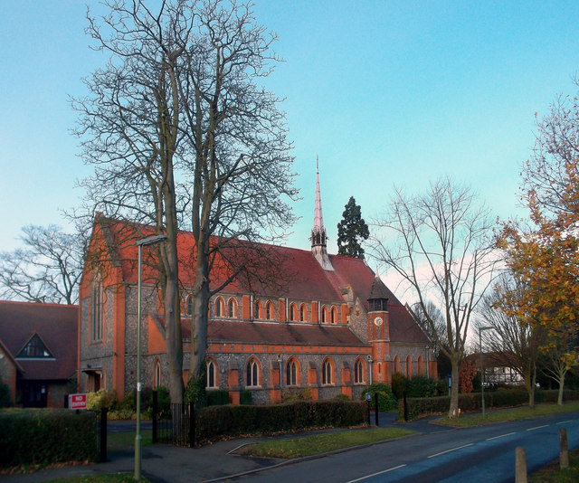
Image: © Des Blenkinsopp Taken: 12 Dec 2011
I thought this area was Worcester Park (the header says it's Tolworth) but the church notice board says this is Cuddington parish church. Cuddington was a medieval village which was summarily demolished, church and all, in 1538 by Henry 8th who had decided he wanted the land for his new palace at Nonsuch Park. The old parish was still on the books however, and when the spread of Victorian London reached this area a new parish church was built in 1895 after a gap of nearly 360 years. Short history on http://cuddingtonparish.org.uk/StMaryHistory.htm
Images are licensed for reuse under creativecommons.org/licenses/by-sa/2.0
Image Location
Latitude
51.376471
Longitude
-0.25627