Old lane to Sowerby Church, Castle Sowerby
Introduction
The photograph on this page of Old lane to Sowerby Church, Castle Sowerby by Humphrey Bolton as part of the Geograph project.
The Geograph project started in 2005 with the aim of publishing, organising and preserving representative images for every square kilometre of Great Britain, Ireland and the Isle of Man.

There are currently over 7.5m images from over 14,400 individuals and you can help contribute to the project by visiting https://www.geograph.org.uk
Old lane to Sowerby Church, Castle Sowerby
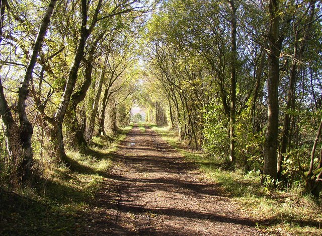
Image: © Humphrey Bolton Taken: 1 Nov 2006
Travelling north towards Hesket Newmarket, Sowerby church could be seen on the right. This lane (a public footpath) leads to it via a ford.
Images are licensed for reuse under creativecommons.org/licenses/by-sa/2.0
Image Location
Latitude
54.716914
Longitude
-2.970179