Keen's Elm Lane
Introduction
The photograph on this page of Keen's Elm Lane by Patrick Mackie as part of the Geograph project.
The Geograph project started in 2005 with the aim of publishing, organising and preserving representative images for every square kilometre of Great Britain, Ireland and the Isle of Man.

There are currently over 7.5m images from over 14,400 individuals and you can help contribute to the project by visiting https://www.geograph.org.uk
Keen's Elm Lane
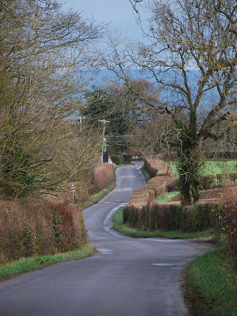
Image: © Patrick Mackie Taken: 25 Dec 2011
A lane running between Somerton Road and Butleigh Road. The crossing in the distance is for the use of Millfield School students to access the playing fields from the school campus on the left.
Images are licensed for reuse under creativecommons.org/licenses/by-sa/2.0
Image Location
Latitude
51.118426
Longitude
-2.725028