The King Harry
Introduction
The photograph on this page of The King Harry by Ian Capper as part of the Geograph project.
The Geograph project started in 2005 with the aim of publishing, organising and preserving representative images for every square kilometre of Great Britain, Ireland and the Isle of Man.

There are currently over 7.5m images from over 14,400 individuals and you can help contribute to the project by visiting https://www.geograph.org.uk
The King Harry
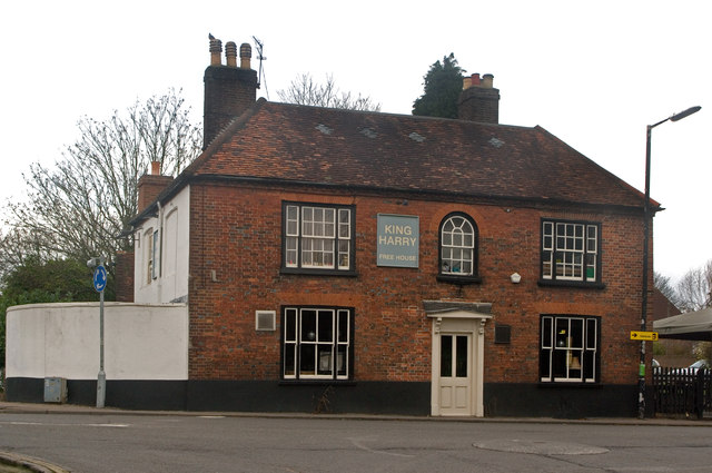
Image: © Ian Capper Taken: 4 Dec 2011
Dating from the mid 18th century, although a building is recorded here, at the strategic junction of Watling Street/St Stephen's Hill/Watford Road/King Harry Lane since the 16th century. Grade II listed - for listing particulars see www.historicengland.org.uk/listing/the-list/list-entry/1174201.
Images are licensed for reuse under creativecommons.org/licenses/by-sa/2.0
Image Location
Latitude
51.741904
Longitude
-0.349263