Stubble
Introduction
The photograph on this page of Stubble by Richard Webb as part of the Geograph project.
The Geograph project started in 2005 with the aim of publishing, organising and preserving representative images for every square kilometre of Great Britain, Ireland and the Isle of Man.

There are currently over 7.5m images from over 14,400 individuals and you can help contribute to the project by visiting https://www.geograph.org.uk
Stubble
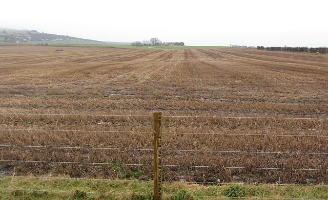
Image: © Richard Webb Taken: 21 Dec 2011
The multistrand barbed wire fence suggests that cattle are sometimes grazed here as well as the field being used to grow crops.
Images are licensed for reuse under creativecommons.org/licenses/by-sa/2.0
Image Location
Latitude
57.619786
Longitude
-2.070295