Fedderate Castle
Introduction
The photograph on this page of Fedderate Castle by Richard Webb as part of the Geograph project.
The Geograph project started in 2005 with the aim of publishing, organising and preserving representative images for every square kilometre of Great Britain, Ireland and the Isle of Man.

There are currently over 7.5m images from over 14,400 individuals and you can help contribute to the project by visiting https://www.geograph.org.uk
Fedderate Castle
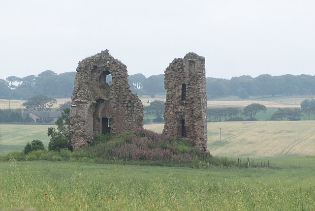
Image: © Richard Webb Taken: 4 Aug 2011
The ruins are a B listed building. The castle was built around 1500 and occupied until the 18th century. The field of oats surrounding the ruin was once a marsh.
Images are licensed for reuse under creativecommons.org/licenses/by-sa/2.0
Image Location
Latitude
57.538484
Longitude
-2.173864