Public Footpath on Cox's Hill, Lawford, Essex
Introduction
The photograph on this page of Public Footpath on Cox's Hill, Lawford, Essex by Robert Edwards as part of the Geograph project.
The Geograph project started in 2005 with the aim of publishing, organising and preserving representative images for every square kilometre of Great Britain, Ireland and the Isle of Man.

There are currently over 7.5m images from over 14,400 individuals and you can help contribute to the project by visiting https://www.geograph.org.uk
Public Footpath on Cox's Hill, Lawford, Essex
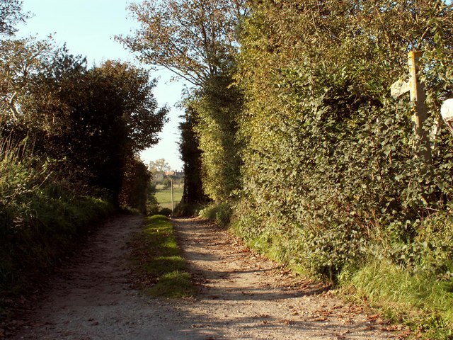
Image: © Robert Edwards Taken: 6 Nov 2006
This footpath takes you down to Lawford parish church and beyond.
Images are licensed for reuse under creativecommons.org/licenses/by-sa/2.0
Image Location
Latitude
51.942576
Longitude
1.045179