Balnacoul.
Introduction
The photograph on this page of Balnacoul. by alan souter as part of the Geograph project.
The Geograph project started in 2005 with the aim of publishing, organising and preserving representative images for every square kilometre of Great Britain, Ireland and the Isle of Man.

There are currently over 7.5m images from over 14,400 individuals and you can help contribute to the project by visiting https://www.geograph.org.uk
Balnacoul.
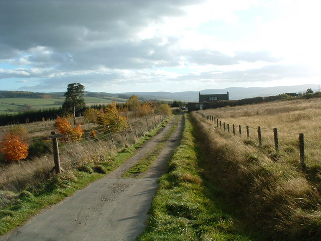
Image: © alan souter Taken: 6 Nov 2006
The large ruin has not been developed for a new house. Most other ruins in the area have.
Images are licensed for reuse under creativecommons.org/licenses/by-sa/2.0
Image Location
Latitude
57.503483
Longitude
-3.146414