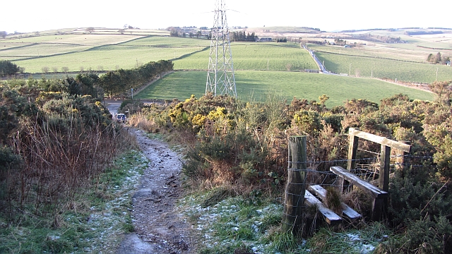
Path up Brimmond Hill
Introduction
The photograph on this page of Path up Brimmond Hill by Richard Webb as part of the Geograph project.
The Geograph project started in 2005 with the aim of publishing, organising and preserving representative images for every square kilometre of Great Britain, Ireland and the Isle of Man.
There are currently over 7.5m images from over 14,400 individuals and you can help contribute to the project by visiting https://www.geograph.org.uk

Image: © Richard Webb Taken: 20 Dec 2011
Brimmond Hill is the highest point within Aberdeen's boundaries and is a fine viewpoint. If visiting please watch your step, this is the worst place I have encountered for dog muck since I was a child. Some fancy moves were required to dodge the droppings and ice with the penalty for falling all too obvious. Things got better further up. Keeping to the path was mandatory due to the whins.

