Rochester Street, Belfast (2)
Introduction
The photograph on this page of Rochester Street, Belfast (2) by Albert Bridge as part of the Geograph project.
The Geograph project started in 2005 with the aim of publishing, organising and preserving representative images for every square kilometre of Great Britain, Ireland and the Isle of Man.

There are currently over 7.5m images from over 14,400 individuals and you can help contribute to the project by visiting https://www.geograph.org.uk
Rochester Street, Belfast (2)
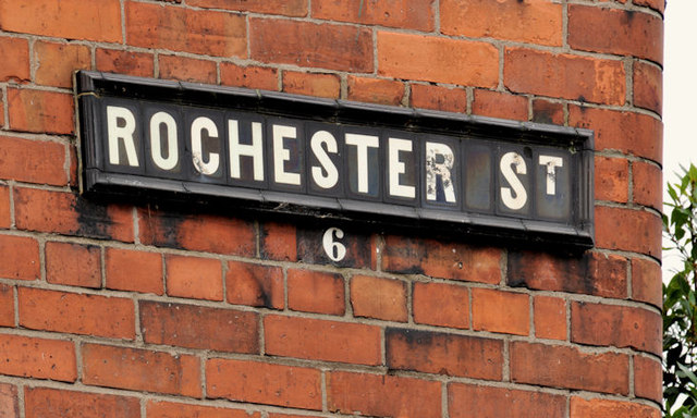
Image: © Albert Bridge Taken: 22 Dec 2011
The tiled name sign, with painted postal district number, at the Ravenhill Road end of Rochester Street Image (southern side).
Images are licensed for reuse under creativecommons.org/licenses/by-sa/2.0
Image Location
Latitude
54.589258
Longitude
-5.910524