Field edge near Colethrop
Introduction
The photograph on this page of Field edge near Colethrop by Jonathan Billinger as part of the Geograph project.
The Geograph project started in 2005 with the aim of publishing, organising and preserving representative images for every square kilometre of Great Britain, Ireland and the Isle of Man.

There are currently over 7.5m images from over 14,400 individuals and you can help contribute to the project by visiting https://www.geograph.org.uk
Field edge near Colethrop
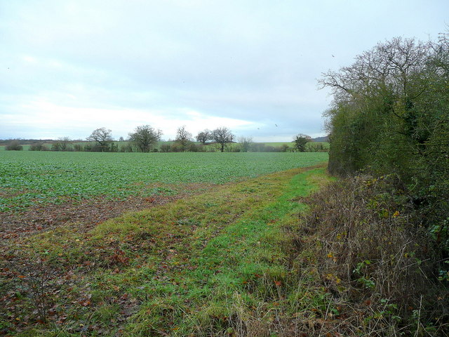
Image: © Jonathan Billinger Taken: 21 Dec 2011
A public path follows the hedge north-east towards Chambers Farm and Brookthorpe.
Images are licensed for reuse under creativecommons.org/licenses/by-sa/2.0
Image Location
Latitude
51.799876
Longitude
-2.26069