Rooftop View
Introduction
The photograph on this page of Rooftop View by terry joyce as part of the Geograph project.
The Geograph project started in 2005 with the aim of publishing, organising and preserving representative images for every square kilometre of Great Britain, Ireland and the Isle of Man.

There are currently over 7.5m images from over 14,400 individuals and you can help contribute to the project by visiting https://www.geograph.org.uk
Rooftop View
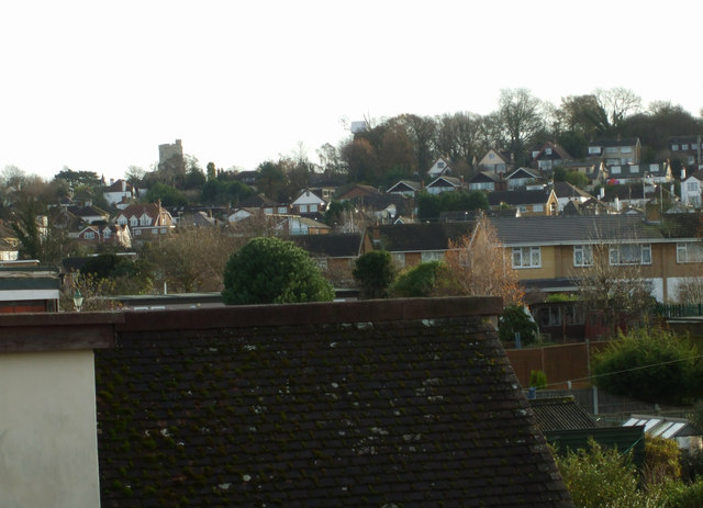
Image: © terry joyce Taken: 20 Dec 2011
Taken from the roof of a 1930's bungalow looking at the more modern houses in Rayleigh. The Church and Windmill can be seen in the background.
Images are licensed for reuse under creativecommons.org/licenses/by-sa/2.0
Image Location
Latitude
51.591247
Longitude
0.601438