Tunstead from near Hawkyard, Greenfield.
Introduction
The photograph on this page of Tunstead from near Hawkyard, Greenfield. by Michael Fox as part of the Geograph project.
The Geograph project started in 2005 with the aim of publishing, organising and preserving representative images for every square kilometre of Great Britain, Ireland and the Isle of Man.

There are currently over 7.5m images from over 14,400 individuals and you can help contribute to the project by visiting https://www.geograph.org.uk
Tunstead from near Hawkyard, Greenfield.
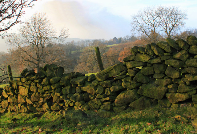
Image: © Michael Fox Taken: 13 Nov 2011
This area of grazing land on the lower hillside east of the village of Greenfield is - by the standards of Saddleworth - quite heavily wooded.
Images are licensed for reuse under creativecommons.org/licenses/by-sa/2.0
Image Location
Latitude
53.53697
Longitude
-1.994228