Shermel Gate
Introduction
The photograph on this page of Shermel Gate by Toby as part of the Geograph project.
The Geograph project started in 2005 with the aim of publishing, organising and preserving representative images for every square kilometre of Great Britain, Ireland and the Isle of Man.

There are currently over 7.5m images from over 14,400 individuals and you can help contribute to the project by visiting https://www.geograph.org.uk
Shermel Gate
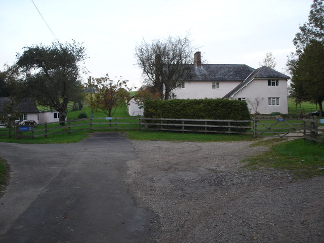
Image: © Toby Taken: 5 Nov 2006
It says West Chase on the signs, but not on the map. It is exactly on the county boundary between Wilts and Dorset.
Images are licensed for reuse under creativecommons.org/licenses/by-sa/2.0
Image Location


Leaflet Map data © OpenStreetMap
Latitude
50.972385
Longitude
-2.016926