Auchterellon Farm
Introduction
The photograph on this page of Auchterellon Farm by Alex Silver as part of the Geograph project.
The Geograph project started in 2005 with the aim of publishing, organising and preserving representative images for every square kilometre of Great Britain, Ireland and the Isle of Man.

There are currently over 7.5m images from over 14,400 individuals and you can help contribute to the project by visiting https://www.geograph.org.uk
Auchterellon Farm
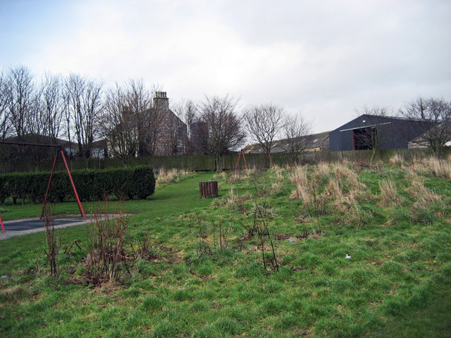
Image: © Alex Silver Taken: 15 Feb 2007
Looking toward the sheds and house from the adjoining park. The two swing sets have since been removed.
Images are licensed for reuse under creativecommons.org/licenses/by-sa/2.0
Image Location
Latitude
57.373918
Longitude
-2.094765