Lamphey ROC Post
Introduction
The photograph on this page of Lamphey ROC Post by Scott Lewis as part of the Geograph project.
The Geograph project started in 2005 with the aim of publishing, organising and preserving representative images for every square kilometre of Great Britain, Ireland and the Isle of Man.

There are currently over 7.5m images from over 14,400 individuals and you can help contribute to the project by visiting https://www.geograph.org.uk
Lamphey ROC Post
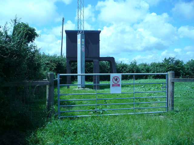
Image: © Scott Lewis Taken: 20 Aug 2008
In 1955 the government announced that steps were being taken for the Royal Observer Corps to give warning and to measure the effect of a nuclear attack in event of a future war with the Soviets - this new duty was only secondary to the identification of incoming aircraft. The ROC was chosen as it already possessed the infrastructure and personnel who were familiar with the monitoring equipment. The posts were grouped in clusters of 3-4 with a main master post in each cluster. The master post had a VHF radio as well as the Tele-talk which ensured that communication was possible from all posts to the group HQs. The regional headquarters were where plotters would predict the areas that were to be affected by nuclear fallout, allowing the authorities to decide which services could remain in operation. To give protection from the possible fallout of a nuclear attack these monitoring rooms were constructed 15ft underground, usually at the location of a pre-existing Orlit post. The underground room measured 15ft by 7ft and was manned by 2-3 staff on a two-week rotation. As of 1992 all of the remaining ROC posts were decommissioned and returned to the public sector, many being bought up by telephone companies owing to their elevated positions.
Images are licensed for reuse under creativecommons.org/licenses/by-sa/2.0
Image Location
Latitude
51.672544
Longitude
-4.834106