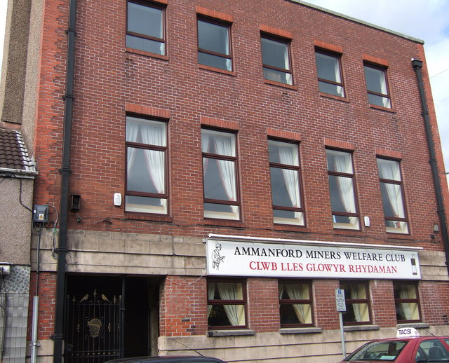
Miners' Welfare Club, Rhydaman/Ammanford
Introduction
The photograph on this page of Miners' Welfare Club, Rhydaman/Ammanford by Natasha Ceridwen de Chroustchoff as part of the Geograph project.
The Geograph project started in 2005 with the aim of publishing, organising and preserving representative images for every square kilometre of Great Britain, Ireland and the Isle of Man.
There are currently over 7.5m images from over 14,400 individuals and you can help contribute to the project by visiting https://www.geograph.org.uk

Image: © Natasha Ceridwen de Chroustchoff Taken: 4 Oct 2006
Built in the 20's from funds raised by the workers themselves, this was once an important focus of local community and cultural life It provided a venue for visiting speakers, political debate, educational and recreational activities as well as source of mutual support during strikes. Nowadays it is largely a drinking club but the top floor has been turned into a small mining museum which is well worth visiting.

