Grade II listed Kingston Farmhouse near Slimbridge
Introduction
The photograph on this page of Grade II listed Kingston Farmhouse near Slimbridge by Jaggery as part of the Geograph project.
The Geograph project started in 2005 with the aim of publishing, organising and preserving representative images for every square kilometre of Great Britain, Ireland and the Isle of Man.

There are currently over 7.5m images from over 14,400 individuals and you can help contribute to the project by visiting https://www.geograph.org.uk
Grade II listed Kingston Farmhouse near Slimbridge
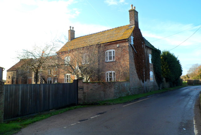
Image: © Jaggery Taken: 18 Dec 2011
Located on Kingston Road beyond the northern boundary of Slimbridge village. Dating from the mid 19th century, the farmhouse was Grade II listed in April 1984.
Images are licensed for reuse under creativecommons.org/licenses/by-sa/2.0
Image Location
Latitude
51.732271
Longitude
-2.388014