Start of bridleway
Introduction
The photograph on this page of Start of bridleway by Michael Dibb as part of the Geograph project.
The Geograph project started in 2005 with the aim of publishing, organising and preserving representative images for every square kilometre of Great Britain, Ireland and the Isle of Man.

There are currently over 7.5m images from over 14,400 individuals and you can help contribute to the project by visiting https://www.geograph.org.uk
Start of bridleway
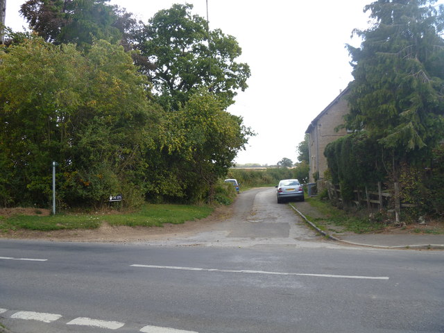
Image: © Michael Dibb Taken: 11 Sep 2011
The bridleway starts on the opposite side of the minor road from High Street. Initially the way is a surfaced lane which serves as access for the house to the right named The Leys.
Images are licensed for reuse under creativecommons.org/licenses/by-sa/2.0
Image Location
Latitude
51.882095
Longitude
-1.594768