Formartine and Buchan Way
Introduction
The photograph on this page of Formartine and Buchan Way by Richard Webb as part of the Geograph project.
The Geograph project started in 2005 with the aim of publishing, organising and preserving representative images for every square kilometre of Great Britain, Ireland and the Isle of Man.

There are currently over 7.5m images from over 14,400 individuals and you can help contribute to the project by visiting https://www.geograph.org.uk
Formartine and Buchan Way
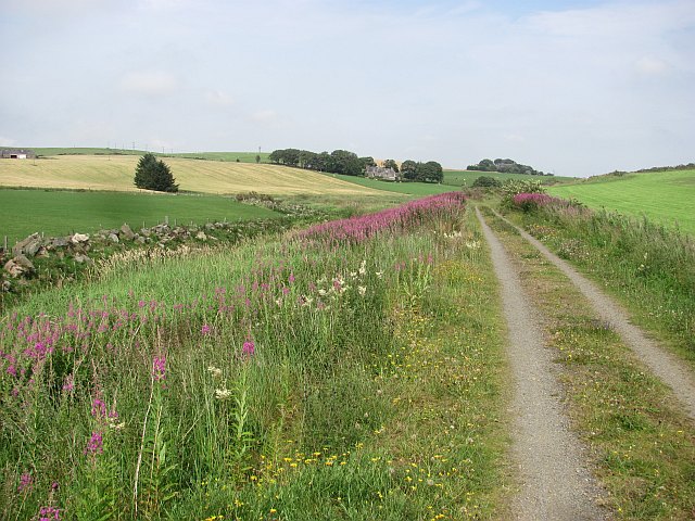
Image: © Richard Webb Taken: 4 Aug 2011
The trackbed is used as a road here and is well surfaced. View towards Ebrie Lodge.
Images are licensed for reuse under creativecommons.org/licenses/by-sa/2.0
Image Location
Latitude
57.444418
Longitude
-2.112274