Footbridge 4ab Paddington Arm - within Portobello Dock complex
Introduction
The photograph on this page of Footbridge 4ab Paddington Arm - within Portobello Dock complex by David Hawgood as part of the Geograph project.
The Geograph project started in 2005 with the aim of publishing, organising and preserving representative images for every square kilometre of Great Britain, Ireland and the Isle of Man.

There are currently over 7.5m images from over 14,400 individuals and you can help contribute to the project by visiting https://www.geograph.org.uk
Footbridge 4ab Paddington Arm - within Portobello Dock complex
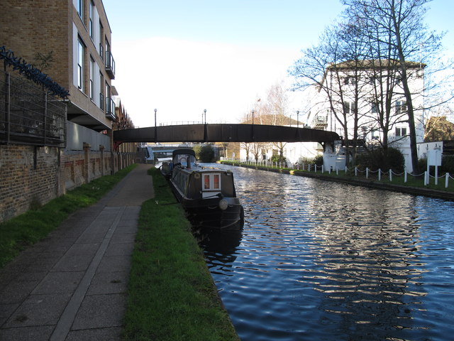
Image: © David Hawgood Taken: 15 Dec 2011
There is public access to the Portobello Dock end of the bridge on the left, but no public access to the Harrow Road at the right. The towpath surface under the bridge is rolled and sealed gravel. Closer to the camera it switches to paving stones.
Images are licensed for reuse under creativecommons.org/licenses/by-sa/2.0
Image Location
Latitude
51.526821
Longitude
-0.214204