Nos 136-152 Beersbridge Road, Belfast (2)
Introduction
The photograph on this page of Nos 136-152 Beersbridge Road, Belfast (2) by Albert Bridge as part of the Geograph project.
The Geograph project started in 2005 with the aim of publishing, organising and preserving representative images for every square kilometre of Great Britain, Ireland and the Isle of Man.

There are currently over 7.5m images from over 14,400 individuals and you can help contribute to the project by visiting https://www.geograph.org.uk
Nos 136-152 Beersbridge Road, Belfast (2)
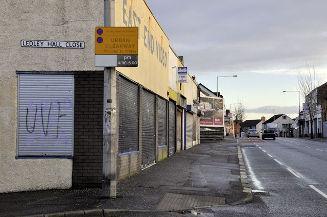
Image: © Albert Bridge Taken: 19 Dec 2011
See Image The same block of derelict shops, looking in the other direction. The Avoniel Road is second left. Continue to Image (December 2013).
Images are licensed for reuse under creativecommons.org/licenses/by-sa/2.0
Image Location
Latitude
54.59208
Longitude
-5.897073