Typical farmland of St Mary's, west of Holy Vale
Introduction
The photograph on this page of Typical farmland of St Mary's, west of Holy Vale by Colin Park as part of the Geograph project.
The Geograph project started in 2005 with the aim of publishing, organising and preserving representative images for every square kilometre of Great Britain, Ireland and the Isle of Man.

There are currently over 7.5m images from over 14,400 individuals and you can help contribute to the project by visiting https://www.geograph.org.uk
Typical farmland of St Mary's, west of Holy Vale
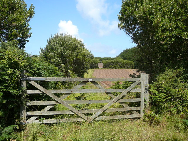
Image: © Colin Park Taken: 7 Jul 2011
Small fertile fields and high hedges.
Images are licensed for reuse under creativecommons.org/licenses/by-sa/2.0
Image Location


Leaflet Map data © OpenStreetMap
Latitude
49.923687
Longitude
-6.298196