South Park
Introduction
The photograph on this page of South Park by Derek Harper as part of the Geograph project.
The Geograph project started in 2005 with the aim of publishing, organising and preserving representative images for every square kilometre of Great Britain, Ireland and the Isle of Man.

There are currently over 7.5m images from over 14,400 individuals and you can help contribute to the project by visiting https://www.geograph.org.uk
South Park
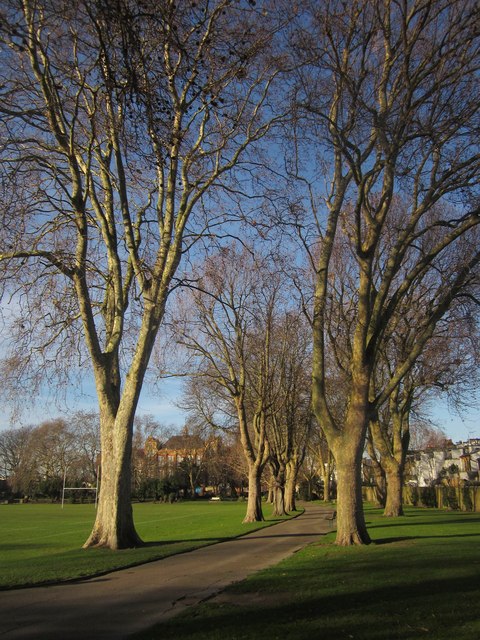
Image: © Derek Harper Taken: 10 Dec 2011
An avenue of plane trees along the northeastern side of the park, which dates from 1904. On the right are properties fronting Settrington Road. Left of centre is the listed former Peterborough Primary School http://www.britishlistedbuildings.co.uk/en-506987-former-peterborough-school-including-sch , dating from 1903-4.
Images are licensed for reuse under creativecommons.org/licenses/by-sa/2.0
Image Location
Latitude
51.470129
Longitude
-0.193957