Allesley Old Road
Introduction
The photograph on this page of Allesley Old Road by E Gammie as part of the Geograph project.
The Geograph project started in 2005 with the aim of publishing, organising and preserving representative images for every square kilometre of Great Britain, Ireland and the Isle of Man.

There are currently over 7.5m images from over 14,400 individuals and you can help contribute to the project by visiting https://www.geograph.org.uk
Allesley Old Road
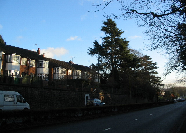
Image: © E Gammie Taken: 18 Dec 2011
At one time there used to be a drive leading off to the left at the cedar trees which led to a property shown on 1936-7 OS maps as High Field. In the 1960s Image] was built on the site, with access from Dulverton Avenue. Surrounding housing is of ca. 1930s vintage and is set several feet above the road. For many years this road was part of a coach route from London to Holyhead and at this point it climbs a low rise between the River Sherbourne and a tributary stream so it is possible that, in the days before adequate road surfaces, the roadway wore down into a holloway.
Images are licensed for reuse under creativecommons.org/licenses/by-sa/2.0
Image Location
Latitude
52.415704
Longitude
-1.550935