Bridge 7 Old Oak Lane - Paddington Arm
Introduction
The photograph on this page of Bridge 7 Old Oak Lane - Paddington Arm by David Hawgood as part of the Geograph project.
The Geograph project started in 2005 with the aim of publishing, organising and preserving representative images for every square kilometre of Great Britain, Ireland and the Isle of Man.

There are currently over 7.5m images from over 14,400 individuals and you can help contribute to the project by visiting https://www.geograph.org.uk
Bridge 7 Old Oak Lane - Paddington Arm
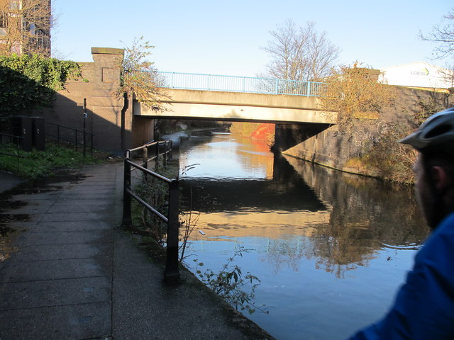
Image: © David Hawgood Taken: 15 Dec 2011
The towpath here is concrete slabs. The towpath from here into Paddington basin all has a solid surface for at least part of its width.
Images are licensed for reuse under creativecommons.org/licenses/by-sa/2.0
Image Location


Leaflet Map data © OpenStreetMap
Latitude
51.528978
Longitude
-0.249873