Brookfield Avenue
Introduction
The photograph on this page of Brookfield Avenue by Phil Champion as part of the Geograph project.
The Geograph project started in 2005 with the aim of publishing, organising and preserving representative images for every square kilometre of Great Britain, Ireland and the Isle of Man.

There are currently over 7.5m images from over 14,400 individuals and you can help contribute to the project by visiting https://www.geograph.org.uk
Brookfield Avenue
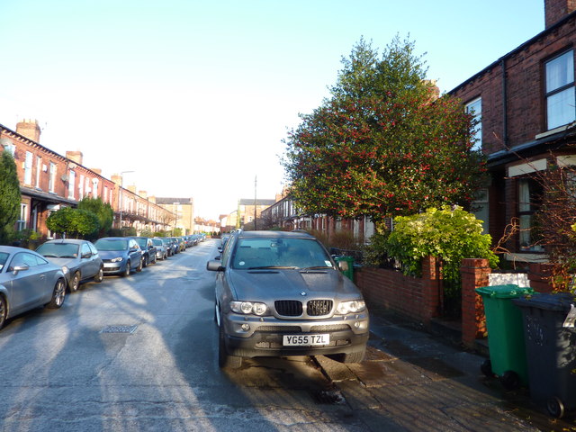
Image: © Phil Champion Taken: 18 Dec 2011
Looking north from the end of this cul-de-sac of terraced houses. A light dusting of snow and an overnight frost made the surfaces a little bit slippy.
Images are licensed for reuse under creativecommons.org/licenses/by-sa/2.0
Image Location
Latitude
53.436983
Longitude
-2.269858